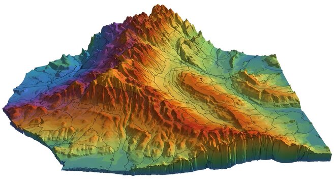
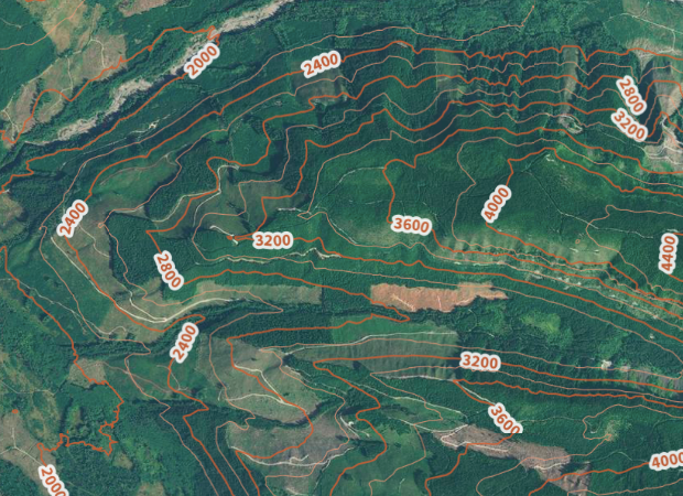
We provide detailed topographic surveys capturing land elevations, contours, and natural features. Our precise data helps in planning, design, and successful execution of construction and land development projects.
Services List
1. Terrain Mapping
Accurately map land surfaces, slopes, vegetation, and natural features for effective planning.
2. Elevation Data
Measure land elevation with precision to guide engineering, construction, and design decisions.
3. Contour Mapping
Generate contour maps to visualize terrain and support construction, drainage, and landscaping projects.
4. Land Analysis
Comprehensive study of soil, terrain, and topography to optimize site planning and resources.
5. Site Planning Support
Data-driven insights for layout design, infrastructure planning, and feasibility assessment.
After more than twenty years of success in the wood products industry, the Bilder family founded its capital venture in 2009 investing in real estate in the western United States capital.